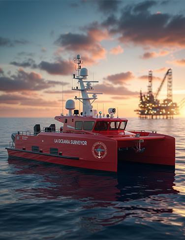
La Oceania Surveyor – Unmanned Surface Vehicle
The USV is a versatile platform specifically designed for marine data acquisition. Its high payload capacity allows it to carry multiple advanced sensors for precise data collection in both shallow and deeper water environments. It can be operated remotely or autonomously with higher efficiency and low carbon emission
- Hydrographic Surveys: Provides accurate water depth measurements, seabed mapping, and detection of underwater features for navigation, port management, and offshore infrastructure.
- Offshore Infrastructure Inspections: Inspects oil and gas platforms, offshore wind turbines, and subsea pipelines and cables, offering high-resolution imaging to detect structural issues and maintenance needs.
- Seabed Exploration: Conducts geological surveys and mapping for resource exploration and geological studies.
- Environmental Monitoring: Monitors water quality levels and marine ecosystems, supporting sustainability efforts in marine conservation, fisheries, and coastal management.
- Marine Research: Collects data on marine life, water temperature, salinity, and other parameters to support studies on climate change, biodiversity, and oceanography.